
Our family has left us again. This time we are a little more prepared to handle the transition, because we have a plan. Please note that by plan I mean finish the north of Ecuador this week , but any direction at all for us is pretty unprecedented.
Plus, this new system of plans allows us to indulge in our new favorite hobby, checking things off lists! After nearly 11 months of travel, H and I have begun to make notes of what we want to see/do. And it gives us a fun game of guess when we will arrive, which we will probably develop into a betting game soon.
In any case, we trekked ourselves up north to Cayambe to explore some more volcanoes. We arrived on the last day of carnaval dropped off our bags and headed straight into the center of town in search of ice cream. However, I was only able to snap one picture before we were overtaken by carnaval-celebrating youths.
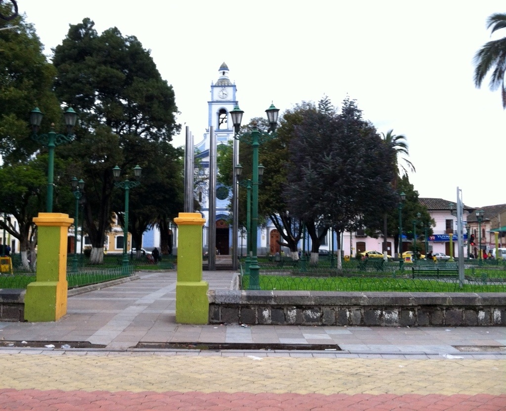
Cayambe is an adorable colonial town painted in an array of colors that I like to refer to as rainbow vomit. Much like H, we have found that Ecuador in general is in love with all things color in all types of combinations. I should not have been surprised, then, when we were swarmed by teenagers with canisters of dyed soap, buckets and balloons of colored water, eggs, and dirt…
But I was, and it is cold up in those mountains! We went back to our room at the Hosteleria Mitad del Mundo and warm-showered and movie-watched the evening away safe from more buckets of icy water.
We were well-rested for our early morning trip to Las Tolas de Cochasquí, supposedly just outside of town. However, we were a bit misdirected and ended up missing the connection with the site workers on their way to work (mostly due to unclear directions and guidebook misinformation about opening times). So at 7:50 we hiked the 8km (uphill) into the site and signed up with our (required) local guide, Octavio.
Octavio was awesome, and we were very pleased with our Spanish/history lesson! H made immediate friends with the other tourists,

and they decided to join us for much of the tour once we all had a chance to check out the overview of our path.
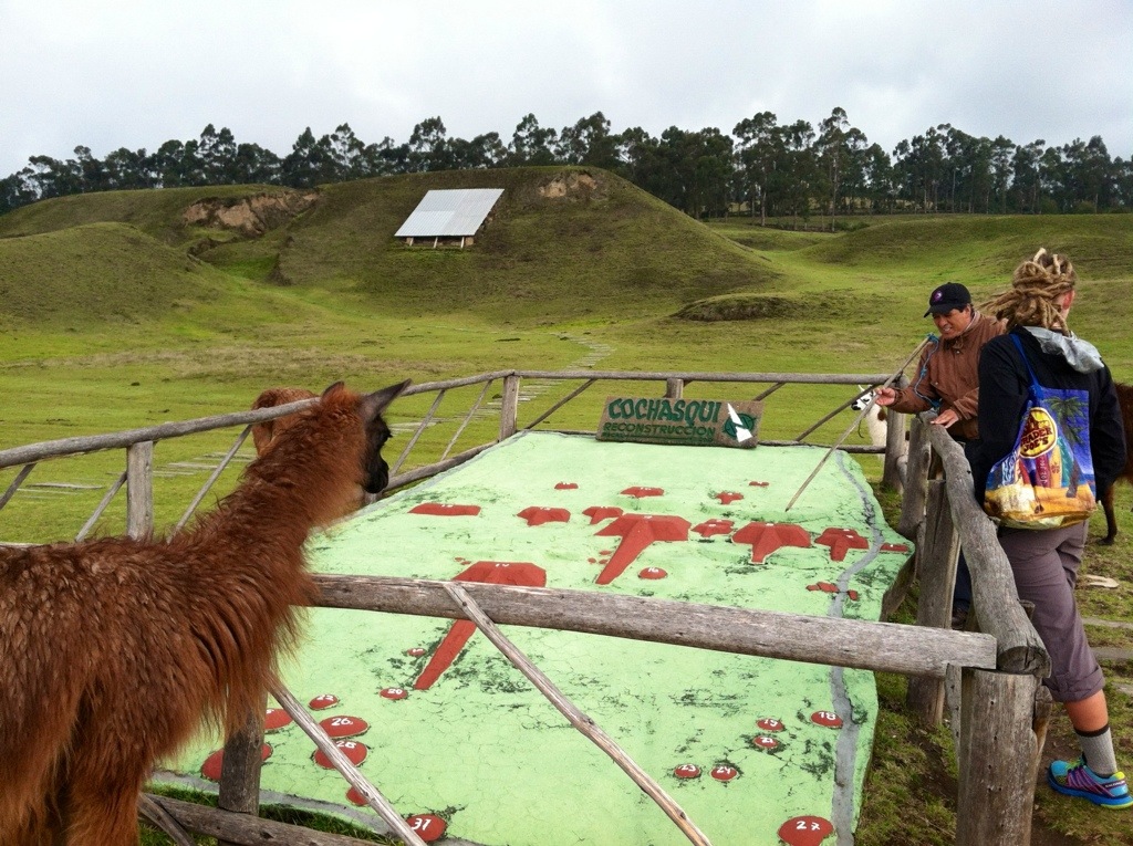
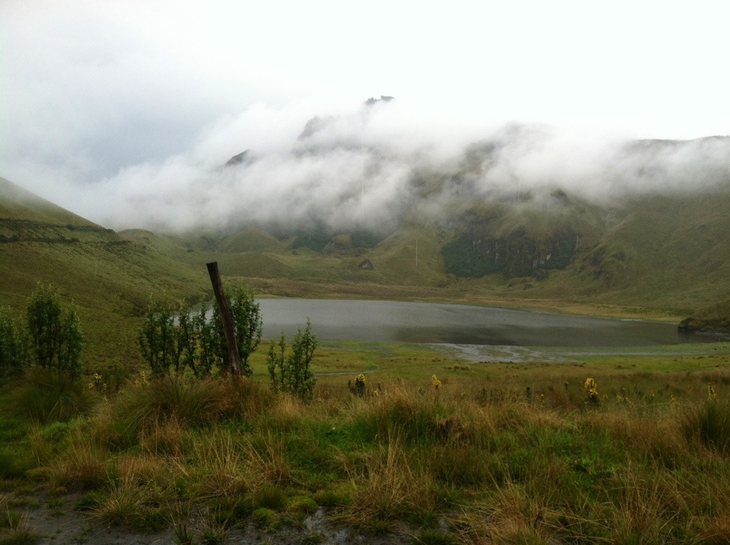
We walked about the site for an hour and a half. The site is at 3100m altitude and just a stone’s throw from the equator and has funeral mounds and pyramids of varying size and purpose, but maybe most notably for me, their sun calendar:

It measures their days and seasons, and at midday in March and September equinoxes you cast no shadow, no matter what exercise you do. Plus they have festivities all weekend, so we are seriously considering a return trip next month!
We also got to go play spot the wildlife with our guide, the only photo I have is for G in particular:

Did you find the tiny owl? There are 3…
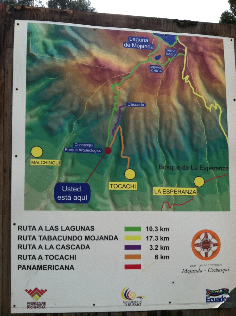
We finished around 11:30 and decided it was early enough to try out the generally mentioned hike to the volcanic lakes that is just beyond Cochasquí. We were encouraged along when we ran into this colorful map that told us it was only 10.3 km away. That’s only about 3 1/2 hours (uphill)!
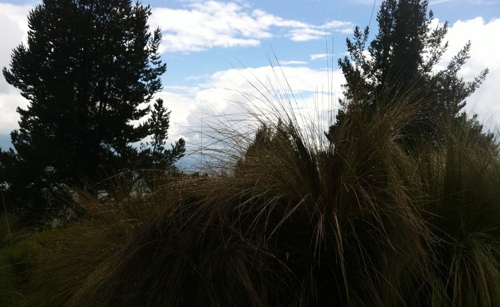
The hike was indeed uphill, and was so stunningly pretty. There were so many interesting local flowers

And as we ascended the views just got nicer and nicer of the surrounding valley.
However, it was high. And long. And windy. And raining ice during this hike. We topped off at about 3900m high, when I was fairly sure that my hands were going to fall off.
But we quickly descended and alongside a road that had turned into a rushing river we found our first small miracle lake!
I don’t know how I was able to make my hands take that picture… But I am even more confused by this one, which I assume is of the rushing river/road, from my pocket?
We still had some more hiking and climbing left until we found the larger Laguna de Mojanda. This is the last thing my fingers could manage that day:

The good news is we had completed our hike, the bad news? We still had to descend to Otavalo, which was described as a $10 cab ride away. How far is that exactly? We assumed not too far, and began walking (not that we had any other choice).
Turns out Otavalo is about another 20km away… We hiked about 10km with no idea how far we had left when we happened upon a family in a truck. They gave us a lift to their house, and then we found another truck full of milk to take us to town. So lucky!
We feasted on pineapple pizza, French fries, and ice cream in Otavalo and then had to catch a bus off the highway to get back home. We staggered in and collapsed into bed.
The next morning the hike to Volcan Cayambe was off, no snow after icy rain thank you! So we spent Valentine’s Day going on a date for lunch and then chatting and snacking on our raw foods favorites in the evening. 🙂

The next day we tried to meet up with our awesome intense-motorcycling-adventure cousin who was crossing our path, but the timing was off. 😦 We needed some serious warming up, so we began our western journeys to thermal springs and the jungle.
